Live Satellite View GPS Map
Appscourt
Downloads
10,000,000+
Version
Latest
Advertisement
Click to download now, finish the installation quickly, and directly unlock the "all-round experience"
Advertisement
Screenshots


Click to download now, finish the installation quickly, and directly unlock the "all-round experience"
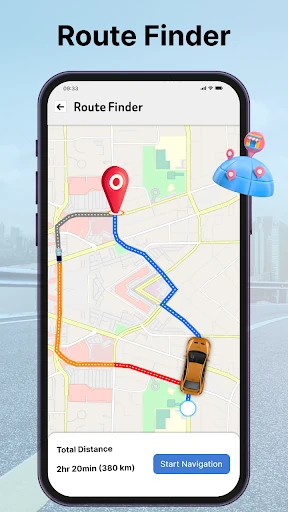
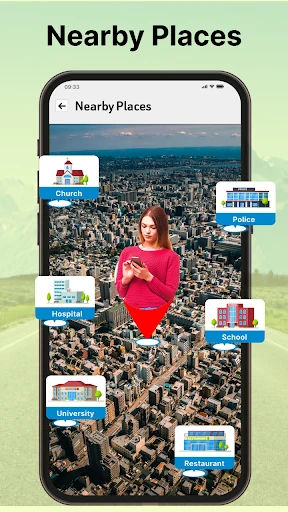
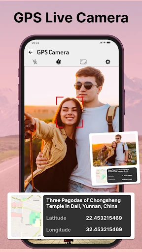
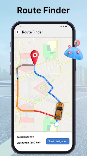
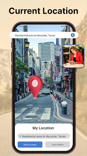
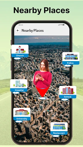
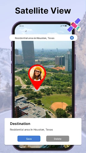
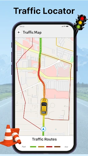
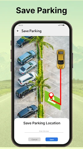
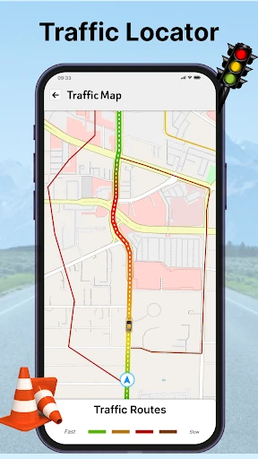
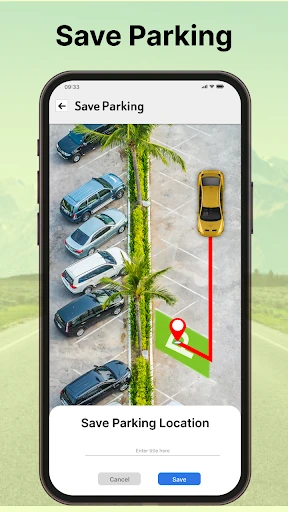
Live Satellite View GPS Map enters the crowded Maps & Navigation landscape as a multi-functional utility designed to bridge the gap between pragmatic route planning and immersive geographical exploration. While major incumbents dominate the market, this app carves out a niche by offering a "Swiss Army knife" approach, integrating 3D satellite imagery, voice-guided navigation, and specific indoor perspectives for complex environments like shopping malls and airports. It is positioned as an all-in-one travel companion that prioritizes accessibility and visual context over the minimalist approach of its competitors.
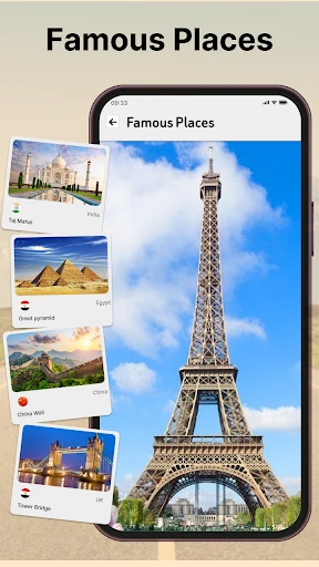
The application prides itself on a "Simple GUI," which is a critical design choice for the Maps & Navigation category where driver distraction is a primary concern. The interface focuses on high-contrast icons and clear labeling to ensure that features like voice input and QR code scanning are easily accessible. By utilizing a hybrid of 2D maps for efficiency and 3D satellite views for orientation, the UX accommodates both technical users and casual tourists. However, the density of features—ranging from "Seven Wonders" tours to travel history logs—requires a well-organized menu structure to prevent the interface from feeling cluttered during active navigation.
To elevate the app to a premium tier, the developers should focus on optimizing the caching mechanism for satellite imagery to reduce load times. Additionally, integrating a dedicated "Dark Mode" specifically for night-time driving would improve visual comfort and safety. Streamlining the UI to hide secondary features (like the QR scanner) behind a settings menu during active navigation would also help focus the user's attention on the road.
Live Satellite View GPS Map is an ideal solution for tourists, adventurers, and frequent travelers who require more visual context than a standard map provides. Its strength lies in its ability to offer detailed indoor and outdoor perspectives alongside traditional GPS tools. We recommend this app for users who prioritize feature-rich exploration over a minimalist interface. It is a solid, free alternative for those who want a comprehensive travel toolkit on their Android device.